GIS in Logistics in India: Routes, Depots, Delivery Zones
Learn how GIS in logistics helps Indian businesses map routes, evaluate depot locations, organise delivery zones, and address geocoding challenges to make better location-based operational decisions.
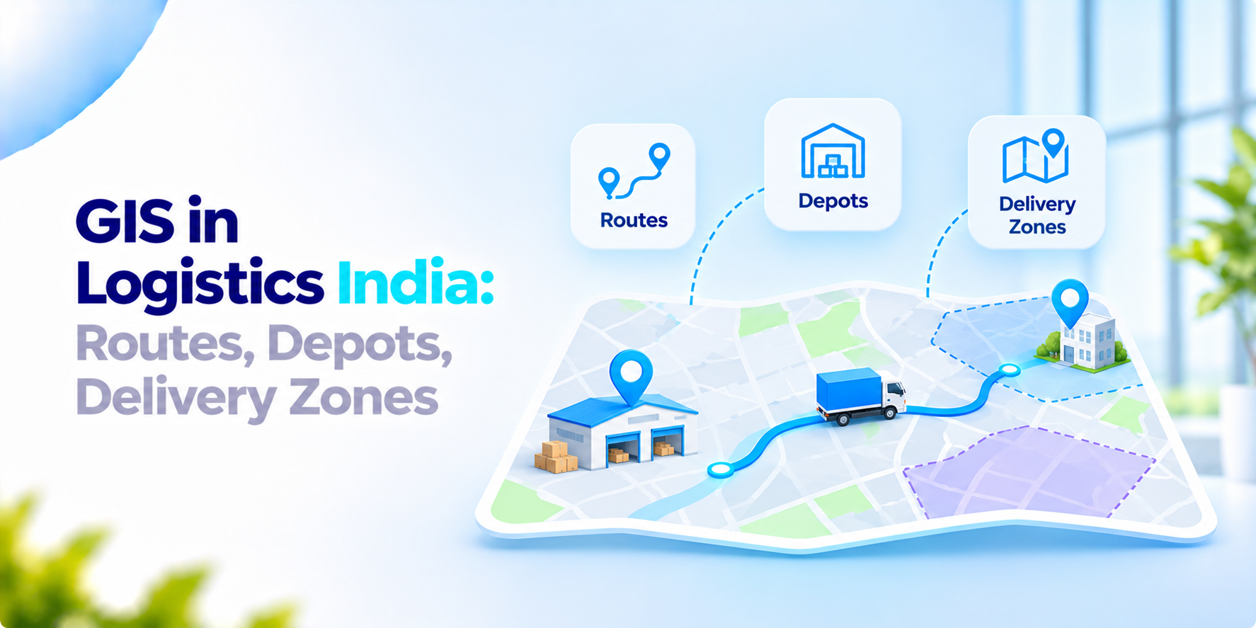
Every decision in logistics has a place attached: where the depot is located, which roads a truck uses, which pin codes a driver covers. GIS in logistics in India: teams use the method of putting those places on a map and asking questions of the data, rather than relying on lists and memory.
What the India data says
The Economic Survey 2025-26, as reported by Organiser on 30 January 2026 said logistics costs dropped to 7.97% of GDP in FY24 from 8.84% in FY23, according to a DPIIT and NCAER study. The Survey gives credit to PM GatiShakti, which it describes as a geospatial planning platform. Its National Master Plan combines more than 1,700 data layers.
Three cautions. This is a news report about the Survey, not the Survey itself. The number is a percentage, not a company’s figure. Gatishakti plans infrastructure, not last-mile delivery. It shows that location data now is at the center of logistics planning in India. It does not show what any single company will save.
Three jobs for GIS in logistics in India
This section is our view. A map-based system earns its place when it answers three questions.
Routes. Which road order makes a vehicle’s trip short? Which trips overlap? A map shows overlaps that a spreadsheet of stops hides.
Depots. Where should a hub or depot be located? Plotting customers, existing sites and travel times shows which location makes the most customers reachable.
Delivery zones. Which areas should each Partner handle? Compact zones reduce running and make it clear who is responsible for which delivery.
All three depend on addresses. Many Indian addresses use landmarks, vary in spelling and lack a PIN code so a customer can end up at the wrong spot on the map. Cleaning and geocoding addresses is usually the task and it takes longer than people expect.
What to ask before you invest in GIS in logistics in India
- Which decision are we trying to improve routes, depots or zones?
- How clean are our addresses. Who will handle the rest?
- What map and location data will we use? Who pays for it?
- Can we change zones ourselves?
- How will the map connect to live vehicle data?
- How will we know if the change worked?
How We Approach GIS in Logistics India
Our GIS development service creates map-based software using your location data, such as depots, routes and delivery zones. For vehicles on the road, Easylogy is our fleet and transportation platform, with GPS tracking, route optimization and deviation alerts. We start with the one decision you want to improve, mapping only the data that decision needs.
If your team is exploring GIS in logistics in India, we would love to have a conversation.
Frequently asked questions
What is GIS in logistics?+
GIS, or Geographic Information Systems, helps logistics teams visualise and analyse location-based information. It can be used to assess routes, depot locations, customer locations, and delivery zones.
How does GIS help with logistics route planning?+
GIS lets teams view routes and stops geographically, helping them identify overlapping journeys, assess travel distances, and examine how locations relate to one another. Actual route optimisation also depends on factors such as road networks, traffic information, vehicle restrictions, and operational constraints.
How can GIS help choose a depot location?+
Teams can map customer demand, existing depots, transport links, and travel times to compare potential locations. The best location depends on the business's service requirements, operating costs, and the quality of the underlying data.
What are delivery zones in logistics?+
Delivery zones are geographic areas assigned to drivers, delivery partners, depots, or operational teams. Well-designed zones can clarify responsibility and help teams organise coverage, although results depend on demand patterns and real-world operating conditions.
Why is address geocoding important for Indian logistics?+
Geocoding converts an address or location description into geographic coordinates. Incomplete addresses, spelling variations, landmarks, and missing PIN codes can make accurate geocoding difficult, so address cleaning and validation are important parts of the process.
Make Better Logistics Decisions with Location Intelligence
Map routes, assess depot locations, and organise delivery zones with GIS solutions tailored to your operations. Explore EICE GIS development services and EasyLogy fleet capabilities to support more informed logistics planning.