GIS Development Services in India: What They Are and Why Businesses Are Adopting Them
Learn what GIS development services include and how businesses use custom mapping, spatial data, analytics, remote sensing and AI to turn location data into business decisions.
 By Ankit Rawat·Published: October 7, 2026 at 6:24 PM IST
India's geospatial market is growing fast
According to Mordor Intelligence, in 2025, the Indian geospatial analytics market is worth USD 1.58 billion, and in 2026, USD 1.81 billion. By 2031, it is expected to grow to USD 3.55 billion with a CAGR of 14.43% from 2026 to 2031. Geographic information systems, or GIS, are in the middle of the market. GIS provides help to combine software and data to help organisations to see, search, and analyse things based on their location.
Policy has opened the door for private businesses
Mordor identifies the National Geospatial Policy 2022 as a major driver. The policy removed security-clearance hurdles and made it easier for domestic innovation to grow. Government programs also help in creating large shared datasets. This report shows the PM Gati Shakti platform; it brings together more than 1600 data layers from 44 ministries. As well as the SVAMITVA programme, which digitises land records for 2.8 lakh villages. Another driver is Telecom. 5G and fibre-to-the-home roll-outs need GIS-based network design.
For private businesses, this means more location data is available and business ecosystem’s parts are built to work with it.
What GIS development services actually are
These are our own explanations, not the findings from the report that was shown above. Where the things are is shown by the off-the-shelf mapping tools. GIS development goes further. It includes application building, spatial databases, and integrations that help organisations combine their own data, such as assets, customers, routes, sites, or field reports, with maps and external databases. This data can be analysed and used for action. Typical work includes custom web and mobile mapping applications, spatial data modelling and migration, integration with existing business systems, and dashboards that turn location data into decisions.
Where businesses are putting it to work
Mordor’s report showed where the market is actually growing. The largest analysis type is network analysis with a share of 35.10%. The largest application is Location-based services, with a share of 26.45%, and the largest end-user is agriculture at 29.10%.
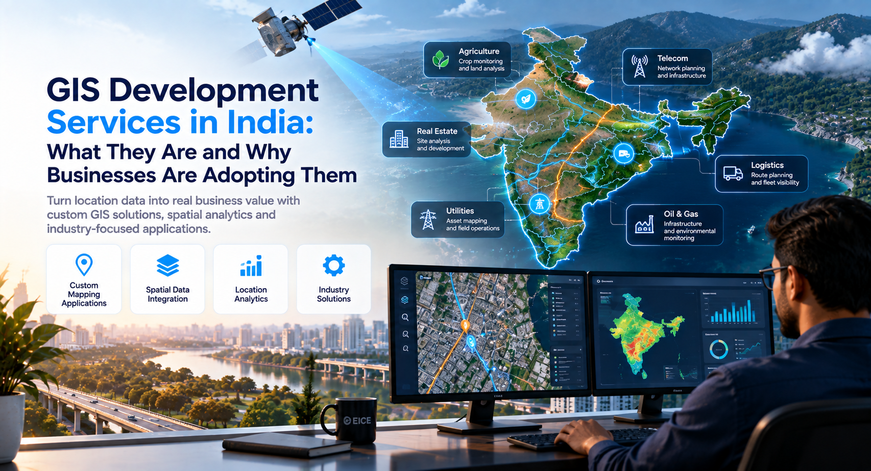
The fastest-growing component is the Service, with a CAGR of 15.55%. Cloud deployment is growing very fast compared to on-premises deployment, at 15.31%, but on-premises deployment still has the largest share today. In practice, this makes utilities, telecom operators, logistics companies, agricultural businesses, insurers, and real estate firms natural users of GIS. Many buyers may be looking for a development partner rather than another software licence.
Questions to ask before choosing a GIS partner
Again, these are also our analytics. Ask the vendor which of your own data will connect and, after going live, how the location data can stay accurate. Ask them about who will manage the system after the launch and whether it will use the same tools that your teams are already using. How the field user will work with the system when they have poor connections. Answers to all these questions can tell you whether you are working with a system or just buying a map.
How EICE Technology supports GIS development in India
Our GIS services cover spatial analysis and custom mapping, as well as GIS database management; they include data collection, integration, and maintenance. For sharing interactive maps and spatial data, the service also includes custom web-based GIS applications. For remote sensing, we work with satellite and aerial imagery analysis. This provides location-based insights by connecting GIS and business intelligence tools.
For teams that want to go further, we apply AI and machine learning to predictive modelling, automated feature extraction, and intelligent spatial analysis. It is relevant to industries such as oil and gas, automotive, healthcare, environmental monitoring, urban planning, and resource management. The Indian team works from Noida. If you are looking for where GIS could fit in your organisation, we'd welcome the conversation. See more on our Services page.
Frequently asked questions
Q. What are GIS development services?+
A. GIS development services involve building and integrating applications, databases and analytics systems that allow organisations to manage, analyse and use location-based data.
Q. What is the difference between GIS development and mapping software?+
A. Mapping software primarily provides mapping capabilities, while GIS development can connect maps and spatial data with an organisation's own databases, applications, workflows and business systems.
Q. What does a GIS development company do?+
A. A GIS development company can build custom GIS applications, manage spatial databases, integrate location data with existing systems, develop dashboards and support spatial analysis and remote sensing workflows.
Q. Can GIS applications work on mobile devices?+
A. Yes. GIS solutions can include mobile applications designed for field teams, including workflows that need to operate in areas with limited or unreliable connectivity.
Q. What is spatial data integration?+
A. Spatial data integration involves combining location-based information with other business or external datasets so organisations can analyse geographic relationships and use the information within their operational workflows.
Q. Does EICE Technology provide GIS development services?+
A. Yes. we provide GIS services covering spatial analysis, custom mapping, GIS database management, data integration, web-based GIS applications, remote sensing and AI/ML-enabled spatial analysis.
Turn Location Data Into Business Intelligence
Build custom GIS applications, spatial databases, mapping solutions, and location-based analytics tailored to your business.